
Geospatial Systems Architect
National Digital Twin for Australian Agriculture
About ASII
The Australasian Space Innovation Institute (ASII) is an independent, enduring, not-for-profit organisation dedicated to scaling the impact of space innovation nationally and across the Australasian region. At the ASII, we are building technologies that will enhance digital infrastructure to transform agriculture, mining, defence, climate resilience, and community safety, all with the ultimate goal of serving the public good and advancing the national interest.
About the program
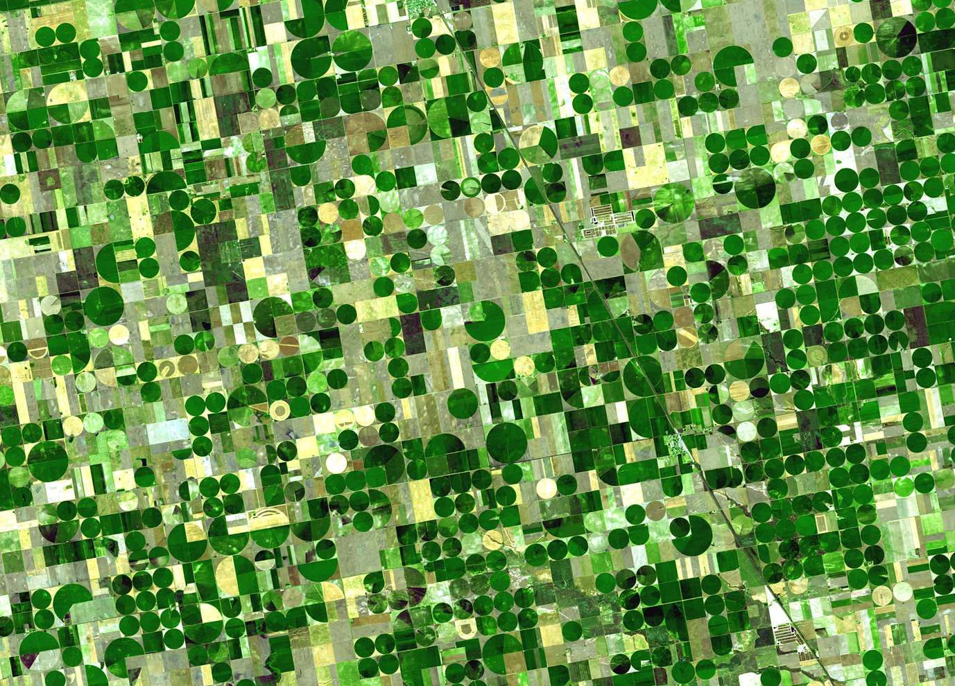
The Australasian Space Innovation Institute (ASII) is building a national Digital Twin for agriculture: a shared platform that uses satellite imagery, AI, and geospatial data to transform how agricultural research is designed, tested, delivered and adopted by the industry at scale.
Agriculture in Australia is a $100B+ industry spanning beef, grains, horticulture, dairy, and more. Today, research and innovation depend on expensive, time-consuming field trials, and each industry body builds its own separate digital tools in isolation.
ASII is changing that model. We are building a common platform through which research from any agricultural program can be developed, virtually tested, validated, and delivered to advisors and agronomists: a shared R&D engine for Australian agriculture, powered by satellite data and AI.
At its core, the Digital Twin is a virtual replica of the Australian farming landscape. It pulls in satellite imagery, weather data, soil information, and farm records into a single environment. Researchers run "what if" simulations, testing a disease management strategy or fertiliser approach across thousands of virtual paddocks before a single field trial begins. Research modules will be designed as reusable, pluggable products: a disease detection algorithm built for beef producers can be adapted for grain farmers without rebuilding from scratch.
Building on the capability of SmartSat CRC, ASII's first program is a partnership with Meat & Livestock Australia. The platform is being built from day one to serve multiple industries and commodities.
This role is responsible for defining the architecture of the digital twin infrastructure to deliver the minimum viable products for this initial delivery with scalability to guide the progress towards a fully built end-state platform.
Purpose of this role
Design the geospatial foundation of a national infrastructure program — one of the most significant spatial data initiatives in Australian agriculture.
Work alongside deep expertise in Earth Observation science and agricultural AI on problems that have no off-the-shelf solution.
Shape how a whole sector conducts and delivers research for the next decade: your architecture decisions will enable a platform to support multiple agriculture commodity programs.
Flexible, remote-friendly engagement with a clear, high-impact 6-month scope and a defined handover to a build team.
What you will do
Assess and extend the existing architecture proposal: Evaluate the current architecture options, conduct a structured gap analysis, and identify the decisions that must be made before any build begins.
Establish the spatial and EO design principles for the platform: Frame the design decisions the program must make, on coordinate systems, EO data catalogue structure, service interoperability, raster data management, and simulation capability and compliance with relevant Australian Government security and data sharing frameworks and lead the team through making them in the right order. You will lead and own the key architecture decisions required for the program, working closely with the Delivery Lead and technical team. The incumbent will focus on decisions that are critical for Year 1 implementation, ensuring early choices do not constrain future program expansion.
Design for flexibility across a multi-year national program: Year 1 will not have all the answers. The most important architectural contribution is a platform that can evolve, where early decisions do not become Year 3 constraints. This means loosely coupled components, well-documented interfaces, and technology choices that preserve optionality as the program scales from one RDC (MLA) to multiple commodity programs.
Define the platform architecture layers: Define the core platform architecture layers and boundaries, including:
Data ingestion and storage
Spatial and EO data layer
Integration and interoperability layer
Scenario and model execution environment (designed in collaboration with the EO Scientific Lead)
AI/ML pipeline and visualisation layer
Ensuring every component is coherent, well-documented, and built to scale.
Act as the internal geospatial technical authority: Evaluate proposals from external technology partners and vendors, ensuring ASII retains the expertise and independence to make informed architecture decisions.
What you will deliver
Platform architecture document: a clear, decision-ready spatial DT architecture the build team can work from directly, covering all layers from data ingestion to model serving.
Spatial design standards: coordinate reference system, metadata standard, OGC service requirements, and EO catalogue structure, locked in and documented before any build begins.
EO ingestion pipeline specification: a build-ready technical specification for ingesting Sentinel-2, Landsat, and commercial satellite and aerial/drone imagery into the platform.
Simulation and ML platform design: architecture for the scenario execution environment, containerised model deployment, and model registry.
Technology decision log: a clear record of every significant architecture decision made, the options considered, and the rationale, so the team can maintain and evolve the platform without the Architect present.
Data services / API design: Data services specification: how processed outputs and spatial layers are exposed to downstream users and partner systems via APIs and OGC services.
Handover to the permanent team: structured knowledge transfer and working sessions with the build team to ensure architecture decisions, design rationale, and technical standards are well understood and the team is set up to build and evolve the platform independently.
Qualifications
A degree in Geography, Geospatial Science, Computer Science, Spatial Information Systems, or a related field is well regarded. Equivalent professional experience will be given equal consideration. What matters is what you have designed.
How to apply
Complete the form below and submit a CV and a covering letter (no more than four pages).
Use your covering letter to describe your skills and experience against the Required and Desirable criteria above. Please include examples of specific geospatial systems or Digital Twin platforms you have architected, what the spatial and technical challenges were, the design decisions you made and why, how you handled interoperability across teams or partner organisations, and how the platform has performed as it scaled.
Applications close 4 May 2026.
Any enquiries should be directed to Fabrice Marre who can be contacted via email at Fabrice.Marre@smartsatcrc.com